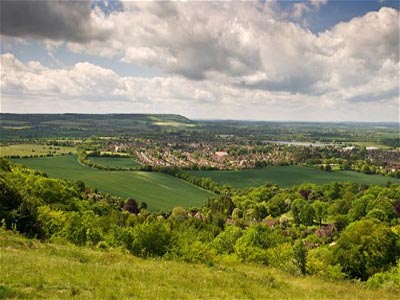
Half of UK land is used for crops or pasture
 A new map, which details different habitats in the UK, shows that about half of the land in the country is used for crops or pasture.
The new map, which details each scrape of land in the UK down to 25m, includes mountains, heathers, large fields of East Anglia, etc. The "improved grassland' and "arable and horticulture" appeared to be the biggest habitats, with 25% of the area of the country.
The other big habitats include "semi-natural grassland' with 13% and "mountain, heath and bog' (16%). Surprisingly, "broadleaved woodland" and "urban areas" both cover a similar 6% of the country.
The map has been created by the Centre for Ecology and Hydrology. The map, dubbed the new UK Land Cover Map (LCM), has been created after several years of work by the researchers. The map includes 70 satellite images collected in between 2005 and 2008.